

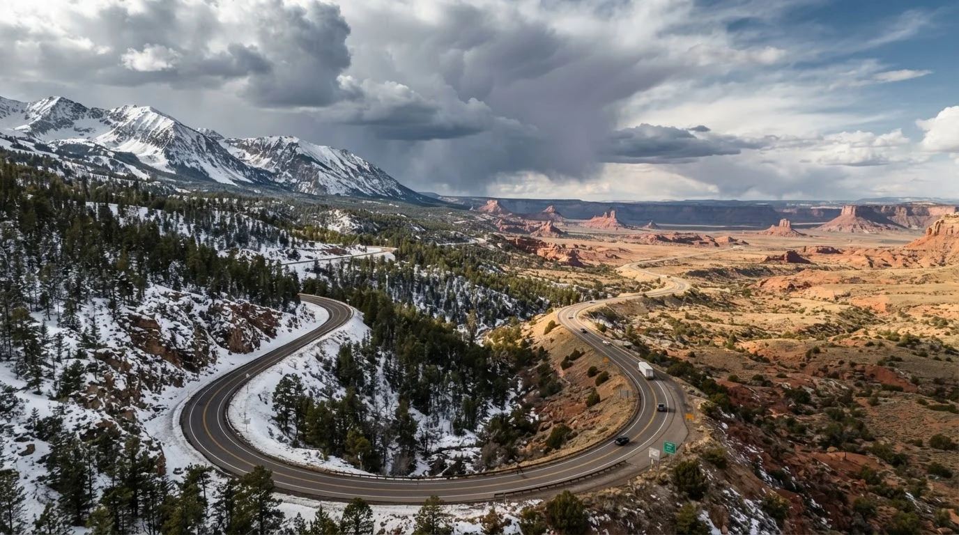
| Mountain Pass Season (Rockies/Sierra) | Late May - Mid-October (varies by elevation) (State DOT agencies; varies annually) |
| Gulf Coast Hurricane Season | June 1 - November 30 (National Hurricane Center) |
| Southwest Desert Summer Peak | June - September (heat + monsoon risk) (National Weather Service) |
| Midwest Tornado Season Peak | April - June (Storm Prediction Center, NOAA) |
| Northeast Ice/Nor'easter Window | December - March (National Weather Service) |
| Pacific Northwest Best Driving Window | Late June - September (WSDOT seasonal road data) |
Why Regional Seasonal Patterns Matter for Drivers
Weather doesn't follow a single national calendar. A late-April snowstorm that's routine in the Rocky Mountains is a rare emergency in the mid-Atlantic. Understanding when and where seasonal driving hazards peak - by region - helps drivers plan routes more safely, time road trips more wisely, and avoid conditions that can catch even experienced motorists off guard.
| Mountain Pass Season (Rockies/Sierra) | Late May - Mid-October (varies by elevation) (State DOT agencies; varies annually) |
| Gulf Coast Hurricane Season | June 1 - November 30 (National Hurricane Center) |
| Southwest Desert Summer Peak | June - September (heat + monsoon risk) (National Weather Service) |
| Midwest Tornado Season Peak | April - June (Storm Prediction Center, NOAA) |
| Northeast Ice/Nor'easter Window | December - March (National Weather Service) |
| Pacific Northwest Best Driving Window | Late June - September (WSDOT seasonal road data) |
This reference covers the major U.S. driving regions and the seasonal windows that most affect road conditions. For guidance on keeping your vehicle ready as conditions shift, see our seasonal car care guide.
Region-by-Region Seasonal Driving Breakdown
Pacific Northwest
The best driving window runs late June through September, when mountain passes are clear and rainfall is minimal. From October onward, low-elevation rain and higher-elevation snow become routine. Passes like Stevens and Snoqualmie in Washington can close with little warning from November through April. Drivers should check WSDOT road conditions before any Cascade crossing in winter.
Mountain West (Rockies and Sierra Nevada)
High-altitude passes present the most variable conditions in the country. Many are open reliably only from late May through mid-October - with some closing entirely in winter. Colorado's I-70 mountain corridor sees frequent chain-law requirements and closures from November through March. Always check CDOT or the equivalent state transportation agency before heading into the high country. For a deeper look at how altitude affects your vehicle, see our article on elevation and terrain performance.
Southwest (Arizona, Nevada, Southern California)
Winter (November-March) is generally the most comfortable driving season in the desert Southwest. Summer heat - routinely above 110°F in the Sonoran and Mojave deserts - stresses cooling systems, tires, and roadside breakdowns are more dangerous in remote areas. Monsoon season, roughly mid-June through September in Arizona and New Mexico, brings intense afternoon thunderstorms and flash flooding that can render low-water crossings impassable within minutes.
Gulf Coast (Texas, Louisiana, Mississippi, Alabama, Florida Panhandle)
The Atlantic hurricane season officially runs June 1 through November 30, with peak activity from mid-August through October. Coastal and low-lying inland routes are vulnerable to flooding, evacuation-level traffic, and road damage during named storms. Outside of storm season, winters are mild and generally present few weather-related driving hazards. Spring can bring severe thunderstorm and tornado activity across the region.
Hurricane Evacuations Change the Road Equation
During a major storm evacuation along the Gulf Coast, routes that are normally free-flowing can back up for hundreds of miles. Many states activate contraflow systems - temporarily reversing lanes on major highways to move traffic away from the coast faster. If you're traveling through a coastal area during peak hurricane season, monitor the National Hurricane Center and your state's emergency management agency for active advisories before departure.
Great Plains and Midwest
Severe weather spans a wide seasonal range here. Tornado season peaks from April through June in Tornado Alley (Oklahoma, Kansas, northern Texas, Nebraska). Winter brings blizzard conditions across the northern plains, with ice storms being particularly hazardous in Oklahoma and Kansas. Spring thaw can cause flooding along river corridors. Summer driving is generally straightforward, though heat and humidity are significant in the southern portions.
Northeast and Mid-Atlantic
The most challenging driving window is December through March, when ice storms, nor'easters, and black ice on secondary roads create dangerous conditions. Spring brings pothole season - the freeze-thaw cycle degrades road surfaces significantly. Summer and fall offer the most predictable driving conditions, though fall foliage season (typically peak in October) generates heavy recreational traffic on rural roads in New England and the Appalachians.
Southeast (Georgia, Carolinas, Tennessee, Virginia)
This region is generally mild but faces two distinct risk windows: winter ice storms (January-February), which can be especially disruptive because infrastructure and drivers are less prepared than in northern states, and hurricane-related flooding through the fall months. Summer humidity and afternoon thunderstorms are common but rarely cause sustained road closures.
Planning Around Seasonal Windows
A few consistent principles help regardless of region:
- Check state DOT resources before mountain, desert, or coastal travel - many offer real-time road condition maps and alerts.
- Build in flexibility on itineraries through high-risk seasons; weather closures can add hours or require rerouting entirely.
- Understand your vehicle's limits - all-season tires have meaningful performance differences from dedicated snow tires in alpine conditions, and towing capacity shifts in extreme heat.
- Monitor forecasts 48-72 hours out, not just the morning of departure, particularly for mountain passes and coastal storm tracks.
Chain Law
A regulation requiring vehicles to carry or install tire chains or approved traction devices before traveling certain mountain roads in winter conditions. Requirements vary by state and road class.
Flash Flood
A rapid, sudden rise in water level - often triggered by intense rainfall upstream - that can overwhelm roads and low-water crossings with little to no advance warning.
Black Ice
A thin, nearly transparent layer of ice on road surfaces that is extremely difficult to see. It forms when temperatures drop near or below freezing while moisture is present, often on bridges and overpasses first.
Monsoon Season
In the U.S. Southwest context, a seasonal shift in wind patterns bringing moisture from the Gulf of California, producing daily afternoon and evening thunderstorms - typically mid-June through September in Arizona and New Mexico.
Nor'easter
A large, powerful storm system that tracks up the East Coast, bringing heavy snow, ice, and strong winds to the Northeast and Mid-Atlantic states, typically from October through April.
Seasonal driving readiness is closely tied to vehicle maintenance. The same cold snap that closes a mountain pass will stress your battery, belts, and coolant system - see our seasonal maintenance routine for a month-by-month vehicle checklist.