

Key Takeaways
Our Verdict
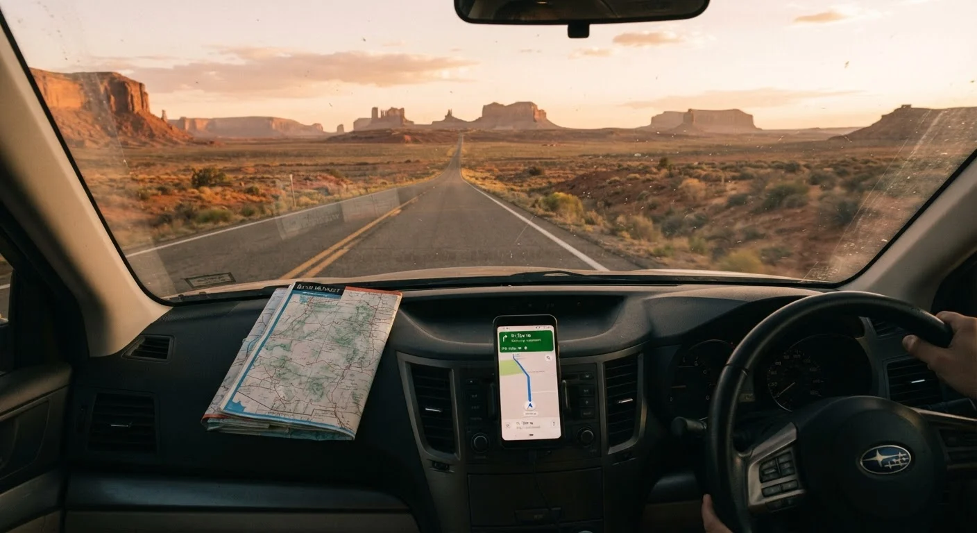
Live traffic apps are the most convenient day-to-day tool for most American road trips, but offline GPS provides crucial backup in rural or low-coverage areas. Paper maps remain a legitimate safety net and a useful planning aid. Travelers who combine methods are better positioned to handle the unexpected.
| Best for | Recommended |
|---|---|
| Urban and suburban driving with reliable cell service | Live Traffic Apps |
| Remote or rural routes with spotty cellular coverage | Offline GPS |
| Pre-trip planning and emergency backup | Paper Maps |
| Long cross-country trips through mixed terrain | Offline GPS + Live Traffic App combined |
Why Navigation Choice Matters More Than You'd Think
Most drivers default to whatever navigation app is already on their phone - and for many trips, that works fine. But on a long American road trip, the stakes of a navigation failure are higher. A wrong turn in a city costs minutes; a wrong turn in a remote stretch of Wyoming or New Mexico can cost hours and, in extreme cases, create a safety risk.
Each navigation method - paper maps, offline GPS apps, and live traffic apps - has a distinct set of strengths and failure modes. Understanding them before you leave lets you plan accordingly. For a deeper look at overall trip preparation, see our complete American road trip planning guide.
| Paper Maps | Offline GPS Apps | Live Traffic Apps | |
|---|---|---|---|
| Requires cell signal | No | No | Yes |
| Turn-by-turn directions | No | Yes | Yes |
| Real-time traffic updates | No | No | Yes |
| Battery/power dependency | None | Device battery | Device battery + data |
| Works in remote areas | Yes | Yes | Unreliable |
| Reflects current road changes | No | After updates | Yes, in real time |
| Upfront cost | Low or free | Free to low | Free (data costs vary) |
| Driver distraction risk | High if used while driving | Low with audio | Low with audio |
Paper Maps: Reliable, Passive, and Surprisingly Useful
A paper map requires no power source, no signal, and no software update. Those qualities alone make it worth keeping in your glove compartment. State highway maps are typically available free at welcome centers, and atlas-style books cover the full country in detail.
Where paper falls short is in dynamic information: it cannot tell you about a lane closure on I-70, a washed-out county road, or a new interchange. Reading a paper map while driving is also unsafe - it's a tool for planning stops, not real-time guidance. That said, experienced travelers often use a paper map during pre-trip planning to understand the big picture of their route before trusting a screen for turn-by-turn directions.
Keep a State Atlas in the Car
A road atlas covering the full United States weighs less than two pounds and costs roughly the same as a tank-top-off fill. It won't reroute you around traffic, but it will get you unlost if your phone dies, your app crashes, or you lose signal in a remote area. Consider it cheap insurance for long-distance travel.
Offline GPS Apps: The Hybrid Middle Ground
Offline GPS apps - the kind that let you download regional or national maps to your device before departure - occupy a practical middle ground. Once downloaded, they provide turn-by-turn navigation without requiring any data connection. This makes them particularly valuable in areas with limited cellular coverage: mountain corridors, national parks, and large stretches of the rural Southwest and Midwest.
The trade-off is that downloaded maps don't update in real time. You won't receive live traffic alerts or dynamic rerouting unless you're connected. Map data also needs periodic refreshing - a downloaded map that's a year old may not reflect new road construction or changed speed limits. Check your app's last update date before heading into a remote area. If your route takes you through unfamiliar cities en route, our guide on navigating urban stops mid-road trip covers the added complexity of city driving.
~280M
Americans with smartphones (2024 estimate)
Despite near-universal smartphone ownership, cellular dead zones remain common across rural America, limiting live navigation reliability in those regions.
~70%
U.S. land area with limited 4G coverage
Federal Communications Commission coverage data indicates significant portions of rural U.S. geography have limited or no reliable broadband wireless signal.
Live Traffic Apps: Powerful When Connected, Vulnerable When Not
Live traffic apps pull real-time data from a combination of GPS sensors, road sensors, and aggregated user reports. When they work well, they're genuinely impressive - rerouting you around a newly reported accident, adjusting your arrival estimate based on actual traffic flow, and flagging speed traps or construction zones ahead.
The critical vulnerability is connectivity. In areas with weak or no cellular service, a live traffic app becomes an offline map at best - and a blank screen at worst. Data roaming costs can also be a concern for travelers who cross into areas served by different carriers. Battery drain is another factor: continuous GPS and data use can draw down a phone battery quickly on a long drive, making a car charger non-negotiable.
Choosing between a highway and a scenic route is another navigation decision worth thinking through early - our scenic routes vs. interstates comparison can help you weigh the trade-offs.
Building a Navigation Strategy That Holds Up on the Road
Most road trip veterans don't choose just one method - they layer them. A common approach: use a live traffic app as the primary tool in connected areas, switch to an offline app in remote stretches, and keep a paper state map or atlas in the car as a last-resort reference.
Before departure, download offline maps for every state you plan to drive through. Check cellular coverage maps for your carrier along your intended route - your provider's website typically offers coverage maps by region. If you're traveling solo, the navigation question intersects with broader safety planning; our article on driving alone across the country covers the realities of solo travel preparation.
The goal isn't to have the most sophisticated navigation setup - it's to have one that won't leave you stranded when something unexpected happens, which on a long road trip, it eventually will.
This article is for informational purposes only. Navigation app availability, features, and coverage vary by provider and region. Always verify current road conditions and closures through official state transportation department sources before traveling.