

Key Takeaways
Why Cities Catch Road Trippers Off Guard
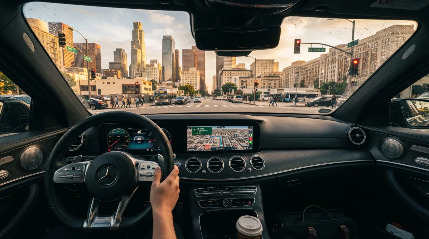
Highway driving has a rhythm. You hold a lane, watch for exit signs, and cover ground steadily. Cities break that rhythm without warning - merge lanes evaporate, one-ways redirect you six blocks from where you intended, and a missed turn can add 20 minutes in stop-and-go traffic. For road trippers who spend most of their drive on interstates, urban segments genuinely require a different mindset.
The good news is that most urban navigation stress is avoidable with modest preparation. The steps below walk through exactly how to set yourself up before, during, and after an urban stop so the city becomes a highlight instead of a headache. If you're still deciding how to handle navigation tools on your trip overall, the comparison of navigation methods covers how different approaches hold up in real road-trip conditions.
What you will need
Step-by-Step: Moving Through an Unfamiliar City
Follow these steps in order. Many of them are completed before you ever arrive, which is exactly the point - city driving rewards preparation more than any other driving environment.
Pre-route your urban segment the night before
Open your navigation app and plot the route from your last highway exit through the city to your destination and out the other side. Run through it visually - note where one-ways begin, where toll plazas appear, and where your parking target is located. This preview means you won't be reading a map cold while merging in traffic.
Download offline maps for the metro area
Data signals in dense urban cores can be unreliable - tall buildings interfere with cell reception, and data congestion during busy hours slows map loading. Download an offline map of the metro area in advance so your GPS continues functioning without a live connection. Most major navigation apps support this feature in their settings.
Identify and confirm your parking target in advance
Decide specifically where you'll park before you arrive - a named garage, a specific lot, or a street block with confirmed meter availability. Parking apps and city parking authority websites often show garage availability and rates. Circling an unfamiliar block looking for parking is one of the leading causes of urban driving stress and minor fender incidents.
Check for permit-only and timed parking restrictions
Street parking in urban neighborhoods frequently carries restrictions: resident-permit-only zones, street cleaning windows, no-parking hours, and loading zones that convert to rush-hour no-stop lanes. Read posted signs carefully - fines for violations are common, and towing is a real risk in high-enforcement areas.
Reduce in-car distractions before entering city limits
Before you hit the urban fringe, handle anything that might pull your attention: adjust your GPS volume, set music to a manageable level, and brief any passengers on what you need from them (quiet, or active navigation help). Have your parking destination already loaded so you aren't typing an address at a red light.
Drive at city pace - not highway pace
This sounds obvious, but highway driving builds a mental speed baseline that can be hard to shed. Posted urban speed limits are typically 25-35 mph, and pedestrians, cyclists, and delivery vehicles create constant unpredictability. Follow posted limits, keep more following distance than feels necessary, and use your mirrors more actively than you would on the open road.
Re-establish your highway route before leaving the parking spot
Before you pull out of your parking space, load your onward route and confirm which direction gets you back to the highway or your next destination. Exiting an unfamiliar city is often trickier than entering - don't leave it to chance once you're already moving.
Build Urban Stops Into Your Schedule
Most road trippers underestimate how long urban segments take. A 10-mile city traverse that looks quick on a map can easily consume 45 minutes during peak hours. Padding your schedule for urban stops - rather than treating them as simple pass-throughs - keeps your overall trip timeline realistic and reduces the temptation to speed or take risks to make up time.
Urban Driving Hazards Worth Knowing
Even well-prepared drivers encounter friction in cities. A few specific hazards come up repeatedly for road trippers:
- Timed lanes: Many urban arterials switch direction or become no-drive zones during peak commuting hours. Signs are posted, but they're easy to miss at speed. Slow down and read them when entering an unfamiliar city corridor.
- Variable toll collection: Some urban toll roads and tunnels are cash-free and bill by license plate. If you don't have an E-ZPass or the relevant regional transponder, you'll typically receive a mail invoice - but fees and processing vary by state. Check the relevant tolling authority's website for your route.
- Low-clearance zones: If you're driving a van, truck, or roof-rack-equipped vehicle, watch for posted clearance limits near bridges, parking garages, and underpasses. This is especially relevant if you've followed the advice in our guide on packing a car for a road trip and added a rooftop cargo carrier.
- Bike lanes and bus-only lanes: Urban lane markings are more complex than highway markings. A solid white lane with a painted bicycle or bus symbol is restricted - entering it is both illegal and a collision risk.
Don't Rely Solely on GPS for Lane Decisions
Navigation apps direct you to a destination but don't always anticipate late-breaking lane closures, construction detours, or sudden signal changes. Keep your eyes up and read the road environment independently of what your GPS is saying. If an instruction feels unsafe given what you can see ahead, trust your eyes first.
For a broader look at how sign types and colors work on U.S. roads, the highway signs field reference is a useful quick-reference before any unfamiliar driving segment.